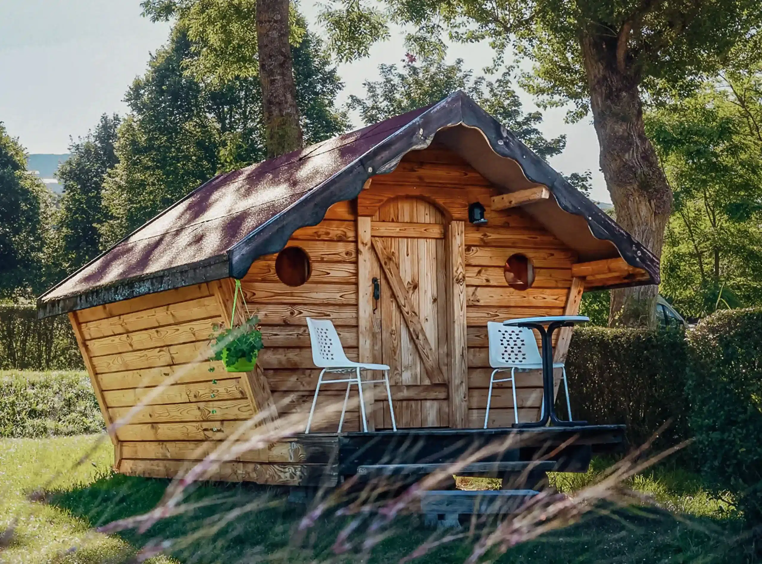
Campsite on the Stevenson trail at Monastier-sur-Gazeille
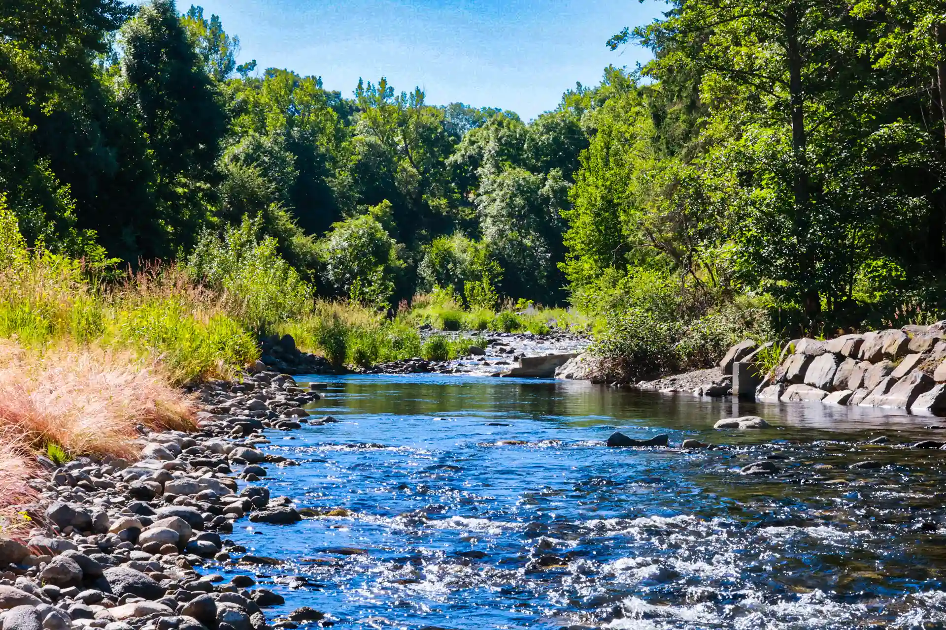
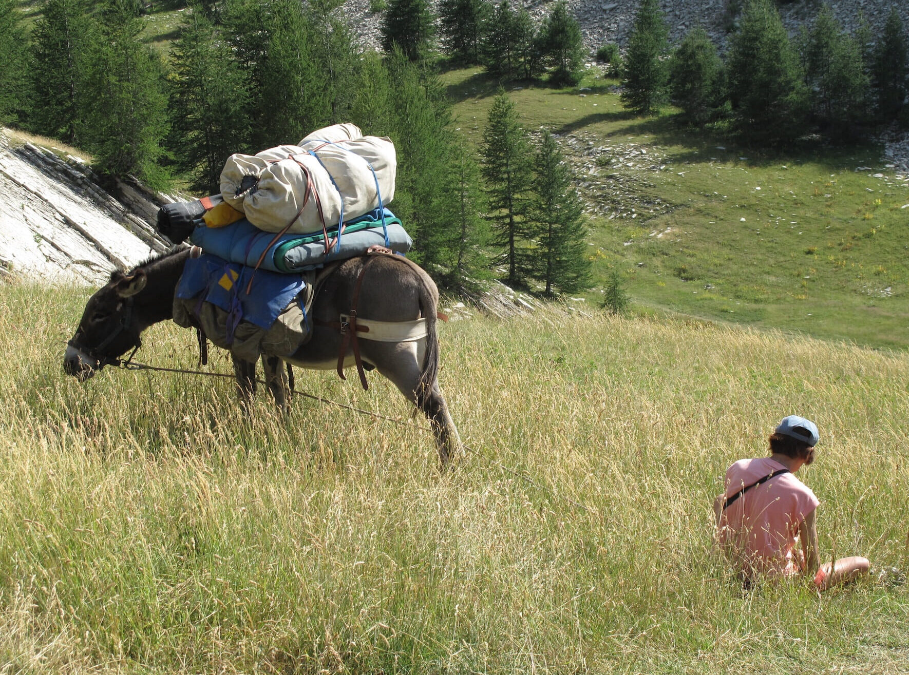
Our campsite near Le Puy-en-Velay is located directly on the Chemin de Stevenson or GR70, 800 meters below the village of Le Monastier-sur-Gazeille, on the banks of the Gazeille river. Camping l’Estela is a partner of theChemin de Stevenson association and welcomes thousands of hikers every year, sometimes accompanied bydonkeys or horses, in the purest Stevensonian tradition.
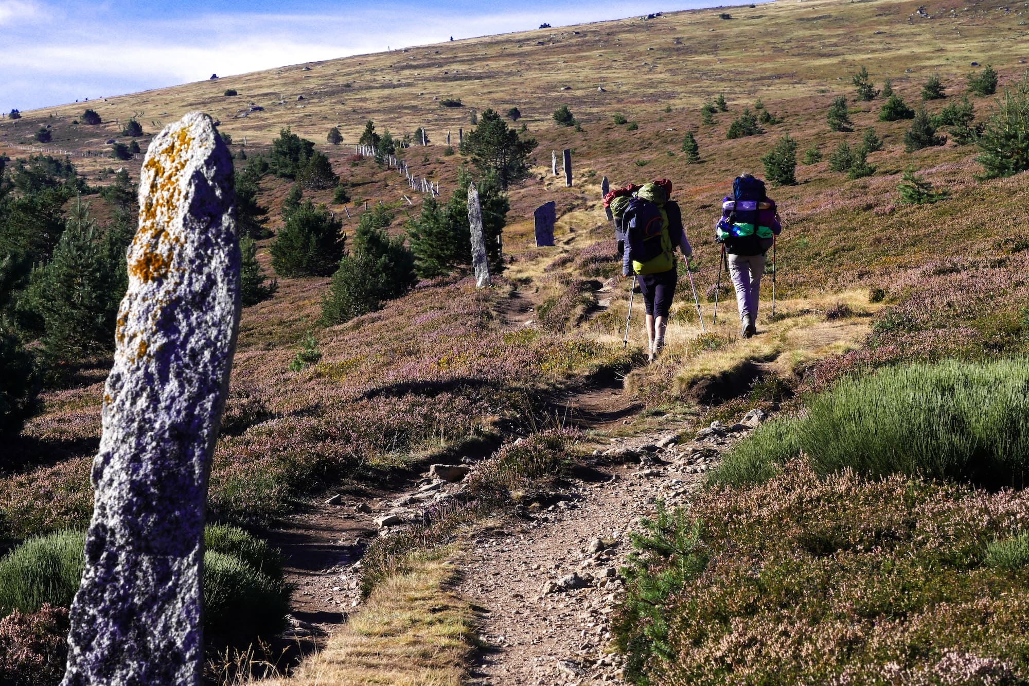
In 1878, Scottish writer Robert Louis Stevenson spent a month in Le Monastier-sur-Gazeille, then set off alone with his donkey Modestine along the paths of the Velay, Gévaudan and Cévennes to Saint-Jean-du-Gard. From this adventure sprang the famous story Voyage avec un âne à travers les Cévennes (Journey with a donkey through the Cévennes). Later, Stevenson would enjoy worldwide success with Treasure Island and The Strange Case of Dr. Jekyll and Mr. Hyde.The GR70 passes right by our door. In fine weather, the road to the Moulin de Savin resounds with the pounding of walking sticks and the conversations of hikers. We welcome them in our half-board chalets, in our unusual accommodation or on our green pitches. A vehicle storage service is available in the campsite’s private grounds for the duration of your hike, as well as a luggage storage service and a meadow for donkeys and horses.
The Haute-Loire department has awarded Camping l’Estela the Respirando label, a guarantee of the quality of its welcome for hikers.
Stevenson’s route, from Monastier-sur-Gazeille to Saint-Jean-du-Gard
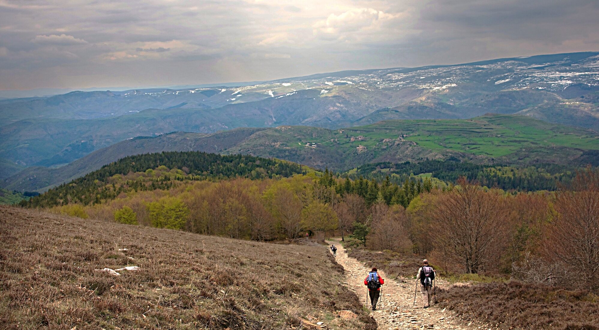
The Stevenson trail crosses three regions with very distinct landscapes, from Monastier-sur-Gazeille to Saint-Jean-du-Gard, over some 272 km divided into 11 to 12 stages. An excellent way to discover the Haute-Loire in a different way!
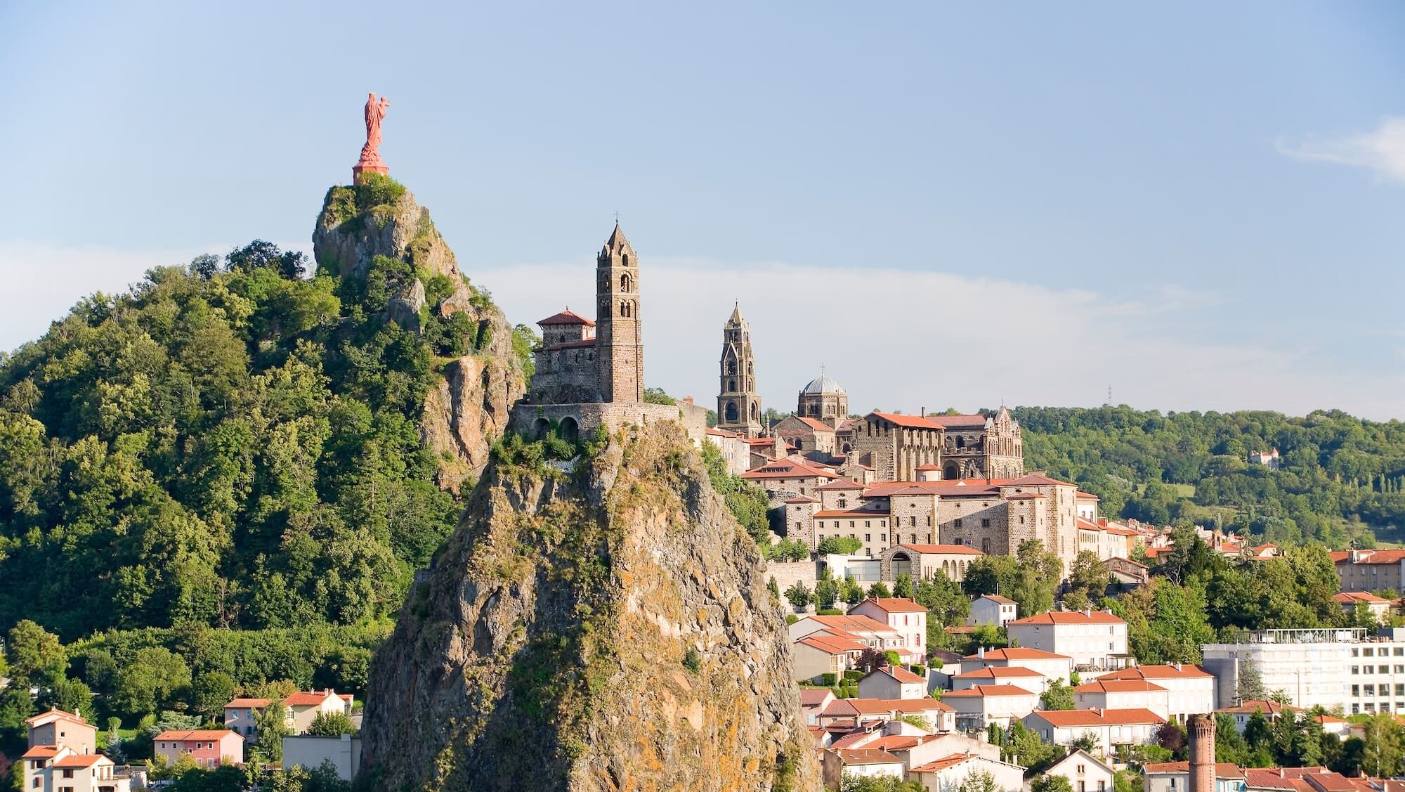
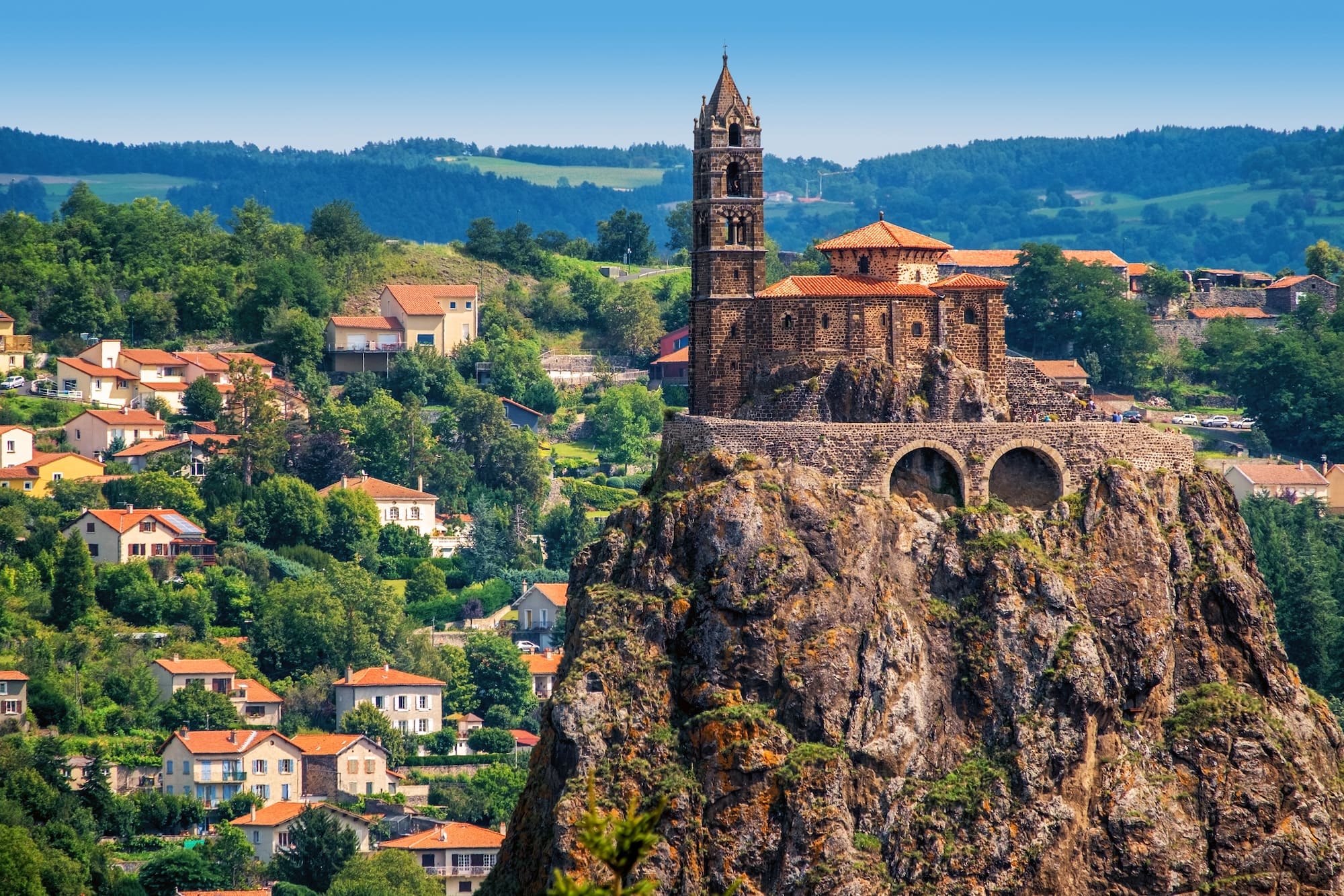
Le Velay: cultivated volcanic plateaus, pastures, coniferous forests and the Loire gorges. The villages, with their basalt houses, have an austere yet endearing character. Highlights include Le Puy-en-Velay and its Unesco-listed cathedral, Coubon and its bridge over the Loire, Le Monastier-sur-Gazeille – the historic starting point – with its Saint-Chaffre abbey and medieval center, then Goudet dominated by the Château de Beaufort, Le Bouchet-Saint-Nicolas and its volcanic crater lake, and finally Pradelles, classified as one of France’s most beautiful villages.
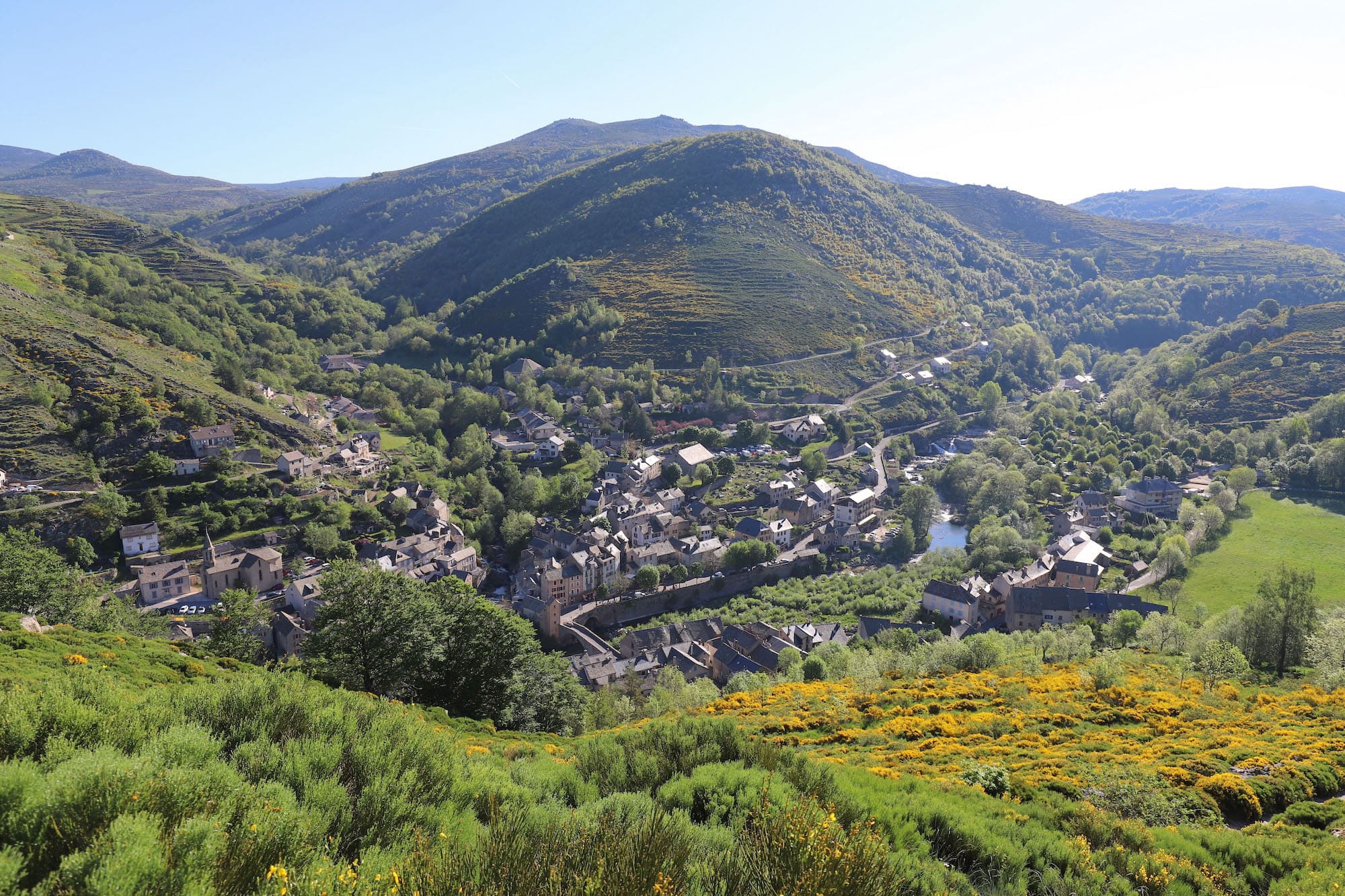
Gévaudan: from Langogne onwards, the landscape changes. Pastures and deciduous woods replace crops. The route passes through Le Cheylard-l’Évêque, then descends to Luc and its medieval remains. After La Bastide-Puylaurent, a detour leads to the Cistercian monastery of Notre-Dame-des-Neiges, where Stevenson spent a night. The GR70 then crosses Chasseradès and the Goulet mountain before reaching Le Bleymard.
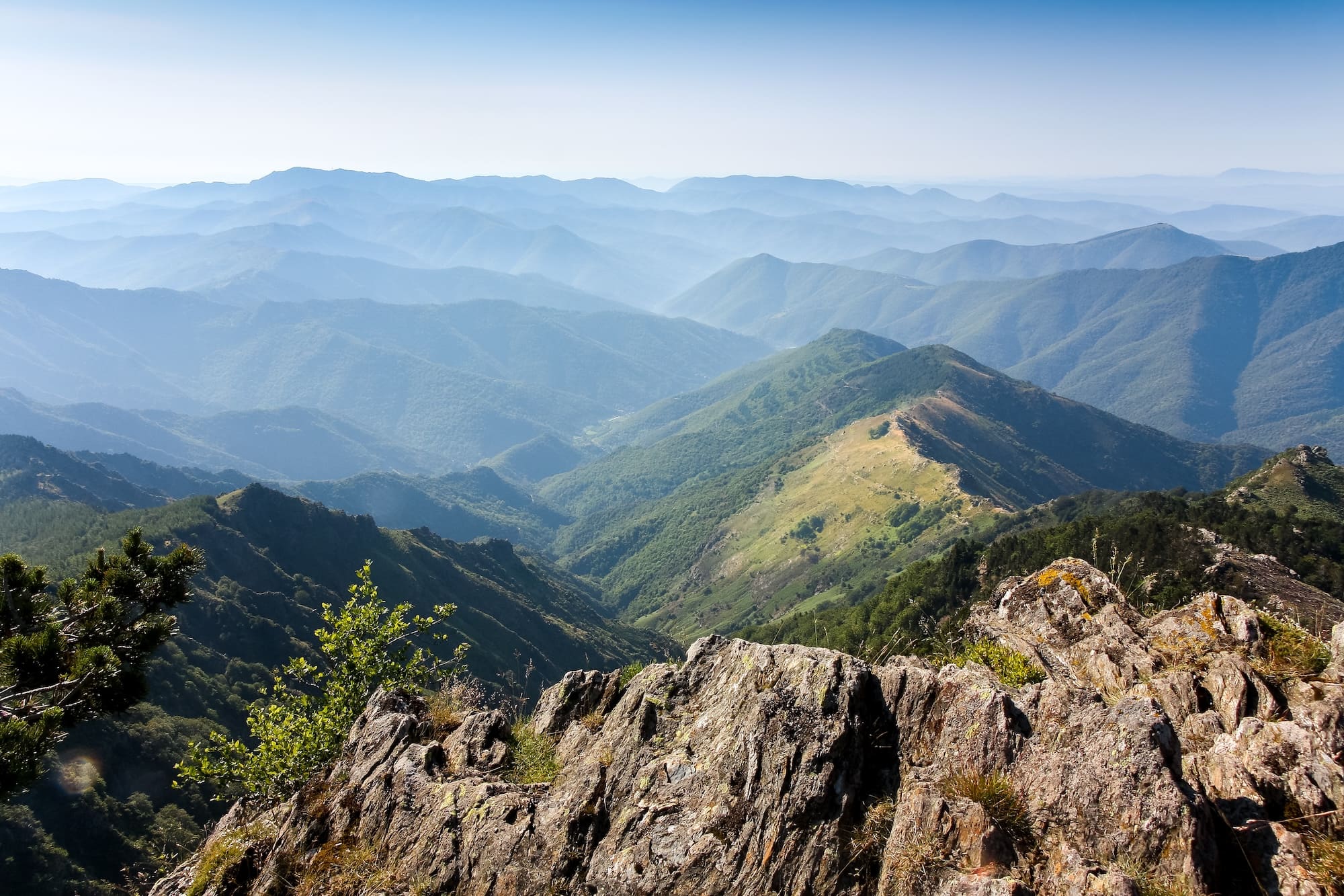
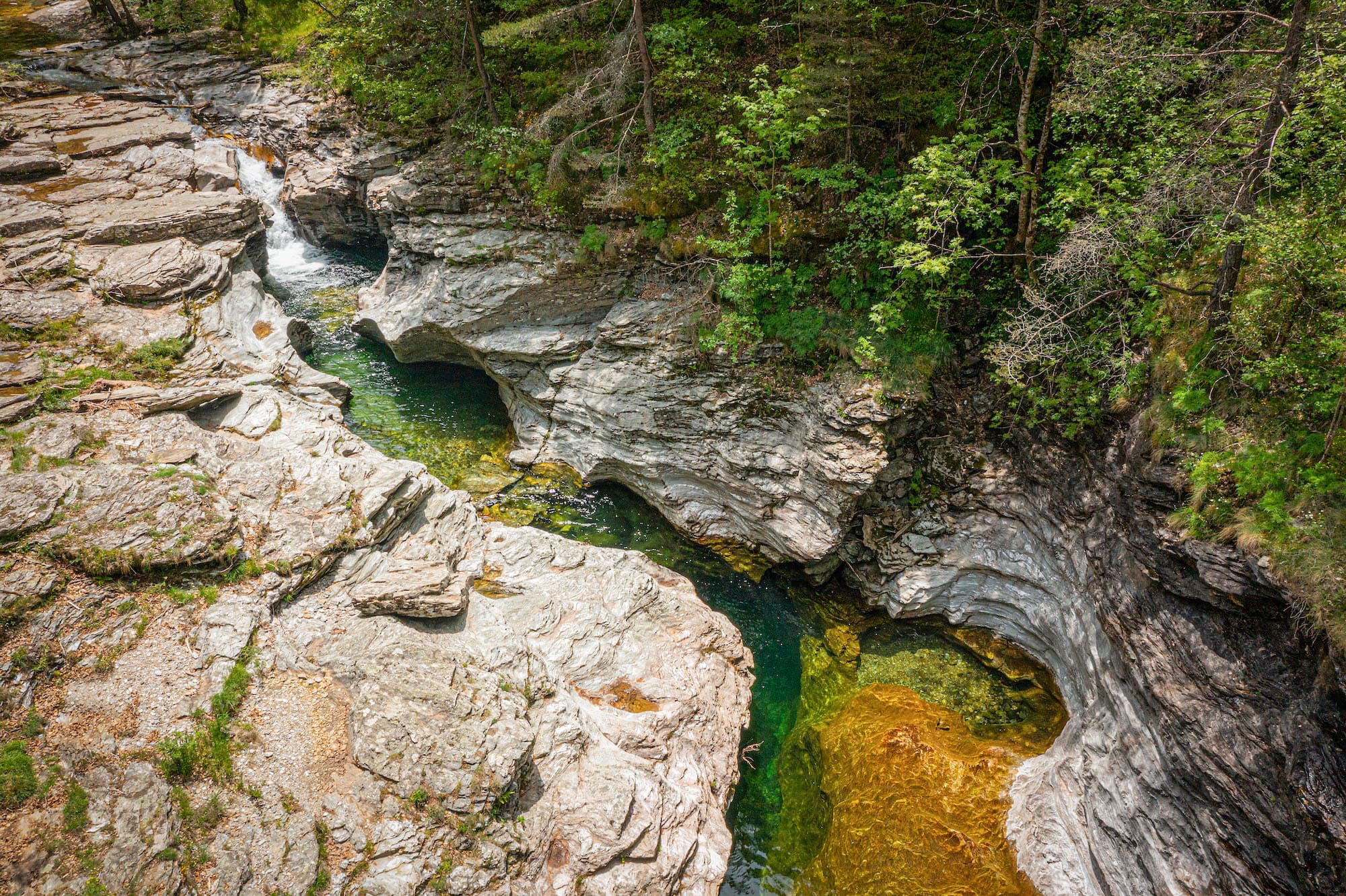
The Cévennes: a UNESCO World Heritage site, the Cévennes offer a landscape of schistose and granite mountains covered with beech and chestnut forests. The mythical stage crosses the Finiels peak (1,699 m) on Mont Lozère, then descends to Pont-de-Montvert, the site of the Camisard war. The route continues through the Bougès mountains, Florac – home of the Cévennes National Park – the Mimente valley, Saint-Germain-de-Calberte and Saint-Étienne-Vallée-Française, before reaching Saint-Jean-du-Gard, the end of the route.
To find out more about the route and scenery, consult the topo-guide published by the Fédération française de la randonnée pédestre or the “Miam Miam Dodo” guide published by Le Vieux Crayon.

Stevenson
Practical information about your campsite on the Stevenson Trail
Topo guides, stages and itineraries
To help you find your way along the Stevenson Trail, the red and white markings of the GR70 are your main point of reference. Two topo-guides, both of which we’ve just mentioned, are also available:
- the FFRandonnée topo-guide, with IGN 1/50 000 mapping;
- Miam Miam Dodo” (published by Le Vieux Crayon), with a wealth of logistical and cultural information, covering the Stevenson and Régordane routes.
In addition, the 1:100,000 IGN map covers the entire route and provides a good overview. For greater precision, the 1:25,000 IGN maps remain the reference, but you’ll need several of them. The route is generally spread over 11 to 12 days’ walking, with stages averaging 6 hours a day.
There’s nothing to stop you shortening or lengthening certain stages. The main thing is to find your own rhythm! We now invite you to discover twelve itineraries in greater detail.
20 km – 670 m ↑ – 500 m ↓ – Altitude: 600 to 980 m – 6 h
Take time to visit Le Puy-en-Velay and its Aiguilhe chapel before setting off. Take care when leaving the town: the GR 430 itinerary is frequently modified due to roadworks – pay close attention to the signs. The low point is at Coubon, when crossing the Loire, and the high point at the hamlet of Mont, above Le Monastier. In the village, you’ll find all the shops and services you need, including a complete medical center, as well as three museums (Stevenson, popular beliefs, school).
23.5 km – 730 m ↑ – 485 m ↓ – Altitude: 770 to 1,230 m – About 6 h
A beautiful stage through the cultivated plateaus of the Velay region. The lowest point is at Goudet, in the Loire Gorge, dominated by the Château de Beaufort. Be careful after Bargettes: the Stevenson route branches off to the west, while the Régordane route heads south. North of Le Bouchet, don’t miss the volcanic crater lake. No refreshments at Goudet.
21.5 km – 300 m ↑ – 360 m ↓ – Altitude: 1,000 to 1,240 m – Approx. 5 h 30 min.
Stopover on the plateaux where Puy lentils grow. All shops and doctor in Landos. Pradelles, one of France’s most beautiful villages, is a historic stopover on the Régordane route. Pharmacy on site. Bicycle railways available.
19 km – 400 m ↑ – 350 m ↓ – Altitude: 900 to 1,200 m – About 5 h
You’re entering Gévaudan, much more wooded than Velay. Several variations are possible, depending on accommodation availability. If Fouzilhac and Le Cheylard-l’Évêque are fully booked, you can continue on to Luc or take a shortcut via Langogne (all shops, Calquières spinning mill museum).
15.5 km – 330 m ↑ – 540 m ↓ – Altitude: 1,000 to 1,250 m
A short stopover, ideal for a rest or to extend to Laveyrune or the abbey of Notre-Dame-des-Neiges (reservations required). No grocery store in Le Cheylard-l’Évêque or Luc.
19 km – 440 m ↑ – 270 m ↓ – Altitude: 1,000 to 1,300 m
Numerous variations possible using the GR70 or the Régordane route at the bottom of the valley. Refreshments available at the Prat Claux farm in Chasseradès. No doctor on site (see Le Bleymard). No grocery store in the hamlet of Mirandol.


18.5 km – 517 m ↑ – 600 m ↓ – Altitude: 1,070 to 1,420 m
Crossing the Goulet mountain before descending to Le Bleymard. The 12th-century chapel of Saint-Jean-du-Bleymard is a listed historic monument. There are no grocery stores in the hamlets of Bonnetes and Les Alpiers.
20 km – 820 m ↑ – 1 020 m ↓ – Altitude: 890 to 1 700 m – About 6 h
Mythical stage over the Finiels peak (1,699 m) on Mont Lozère, in the heart of the Cévennes National Park. The descent to Pont-de-Montvert offers grandiose views. No grocery store in the hamlet of Finiels.
26 km – 700 m ↑ – 1 000 m ↓ – Altitude: 540 to 1 400 m – About 7 h
The longest stage of the route, in the heart of Camisard country. Possibility of shortening by 3 km by avoiding Bedouès via the ridges (GR68). No grocery stores in the hamlets of Mijavols and Cocurès.
18 km – 500 m ↑ – 350 m ↓ – Altitude: 550 to 740 m – About 5 h
Climb up the Mimente valley through forests of pine and chestnut, the food tree of the Cévennes.
24 km – 700 m ↑ – 1,150 m ↓ – Altitude: 250 to 1,030 m – About 6 h
Cross the Gardons forest (chestnut, conifer and locust trees). In Saint-Germain-de-Calberte, you can see the 11th-century Château de Calberte. No grocery store in the hamlet of Malafosse.
12 km – 430 m ↑ – 500 m ↓ – Altitude: 200 to 600 m
Last stop! In Saint-Jean-du-Gard, stroll through the old town, admire the clock tower and, if you arrive on a Tuesday, enjoy the southern-flavored market. The nearby Musée du Désert in Mialet traces the history of Cévennes Protestantism and the Camisard war.
GR70
Elevation gain along the GR70
Over the whole itinerary, the cumulative ascent is around 6,500 m and descent around 6,800 m. On average, count on 500 to 600 m of ascent per day if you complete the route in 12 days.
The gradients remain moderate: most of the climbs are less than 10%. The stage with the highest positive gradient is the one from Pont-de-Montvert to Florac, with around 700 m of ascent. To give you an idea: in the mountains, a regular walker climbs around 350 m of ascent per hour on average slopes. On the Stevenson route, the slopes are gentler, making for comfortable progress for the vast majority of hikers.
Difficulty anticipating your route
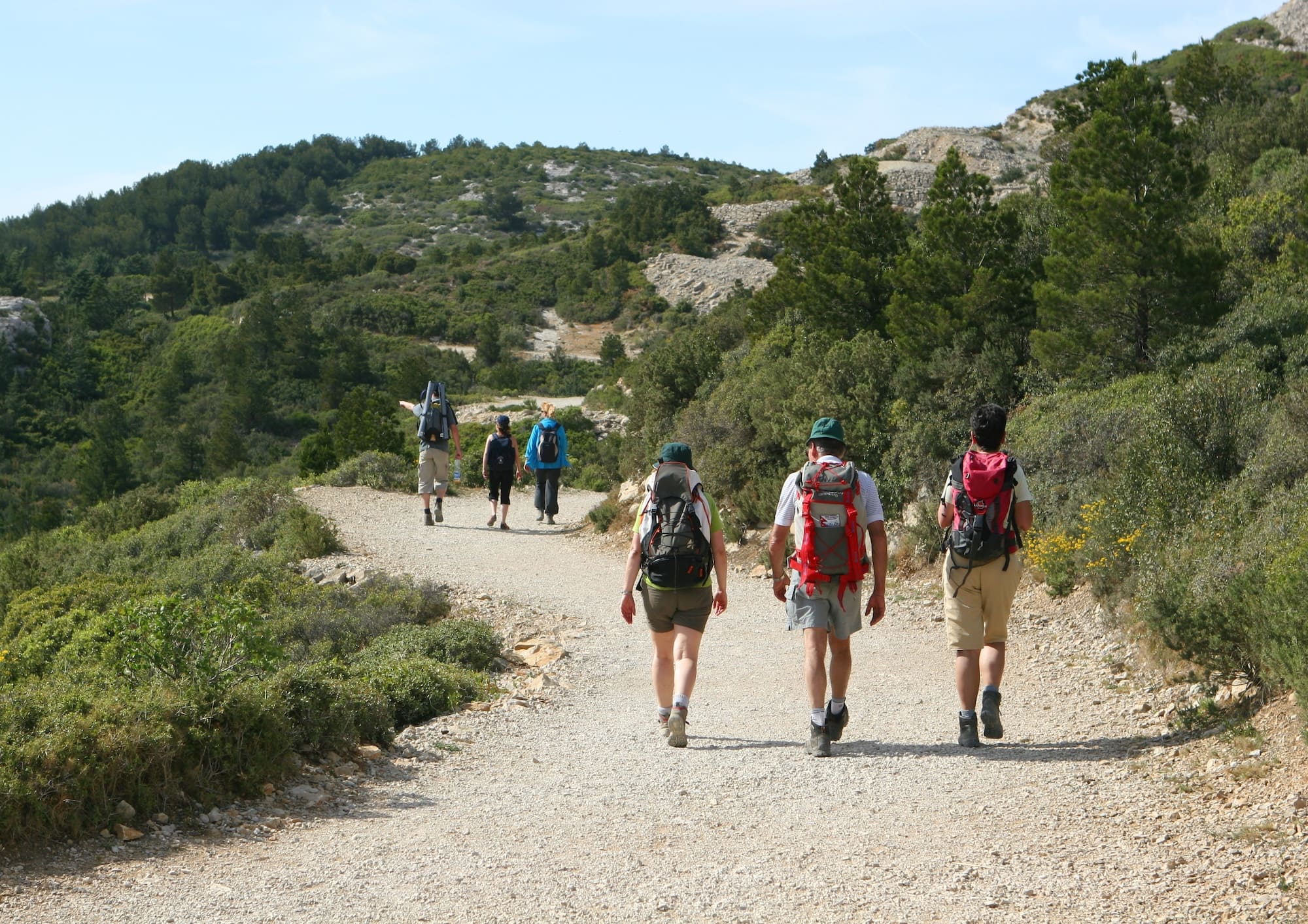
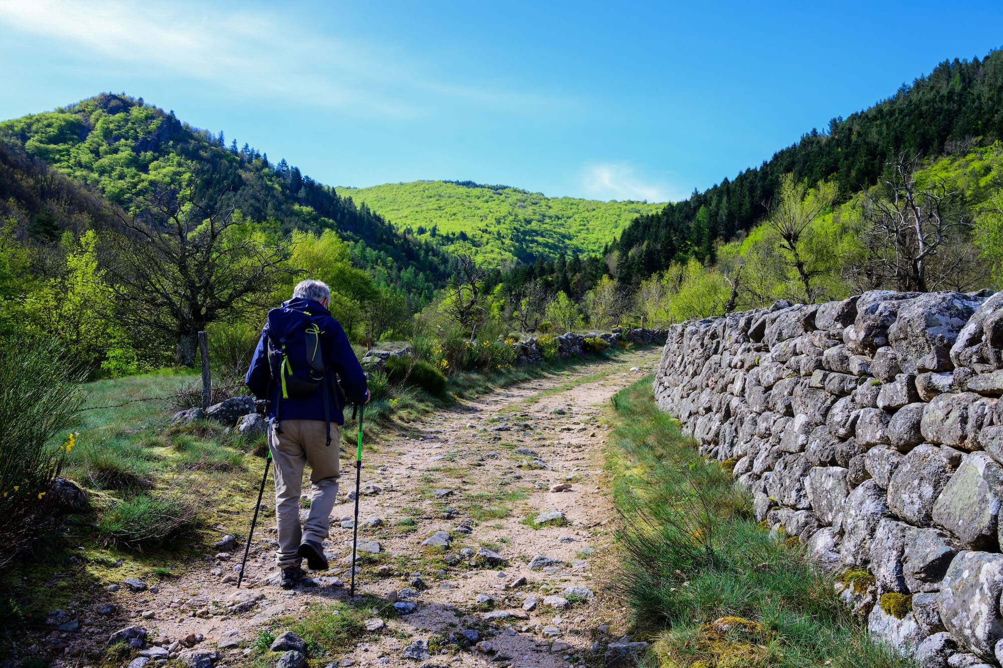
The good news is that the Stevenson route is accessible to a very wide public. On an alpine scale of difficulty, it’s at levels 1 and 2 – well-marked paths, with no technical passages requiring special equipment. In concrete terms, you’ll be walking on farm tracks, forest tracks and well-marked mule trails, sometimes on roads. A few stony or gullied passages require a little care, but walking poles are all you need to keep your balance.
A few reassuring landmarks:
- the oldest hiker welcomed at l’Estela was 84;
- families with children under the age of 10, often accompanied by donkeys, use the trail every summer;
- Stevenson himself was neither athletic nor in great physical shape – and he arrived safely!
Tips to limit difficulties :
- adapt the length of the stages to your abilities and those of your group;
- walk at a regular pace and hydrate often;
- carry as little as possible: use a luggage transport service to lighten your bag;
- Prepare yourself in advance with 6 to 7 hour outings on hilly terrain;
- watch out for forks in the road: locate GR crossings on your map the evening before.
Preparing your hike on the Stevenson trail
Here are the essentials to help you prepare for your departure:
Equipment:
- shoes: high quality, previously worn shoes (€80 to €150);
- Rucksack: 30 to 50 liters if sleeping in a gîte, 50 liters or more if camping;
- Sleeping bag: a sheet (10 to 15 €) for gîtes, a comforter for comfort -5 °C to -10 °C for bivouacs;
- clothing: several thin layers, fleece, rain gear, swimsuit. Travel light: a single change of clothes is all you need if you wash at the stopover;
- objective weight: 7 to 8 kg maximum (excluding sleeping gear for campers).
Lodging at Estela :
Camping l’Estela welcomes you from April 15 to September 30 with :
- chalets with half-board option (dinner from 7 p.m. + overnight stay + breakfast from 7 a.m.) for 2, 4 or 6 people – bring your own sheet and towel, comforters and blankets are provided;
- quiet, green pitches, some on the banks of the river;
- Catering service: mainly home-made dinners, packed lunches to order;
- the guarding of your vehicle on private and closed ground;
- a meadow for your donkeys and horses;
- access to the heated swimming pool from June 15 to September 15.
Remember to book your accommodation well in advance, especially in July and August.
Find out more